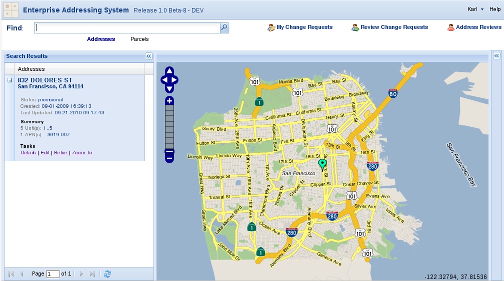
We’ve been having some very exciting discussions with the San Francisco Department of Technology. They’re developing an “Enterprise Addressing System” (EAS): web-based software to help the city manage its master database of addresses, tied to the Assessor’s parcels and the City’s street centerline network (the project was initially called the Master Address Database, or MAD). It will be going live in San Francisco early in 2011, and we’re helping them open source the code and partner with other cities to improve it.
I’ve explored the demo site and, even still in development, the system is terrific. To whet your appetite, below is a 4-minute screencast showing a very basic overview of how it works, and how well-integrated the map layer and the data is. Note that EAS uses the Openlayers javascript library. According to Paul McCullough, one of the lead developers, Openlayers
…allows you to swap map providers, add layers at will from many “providers”. For example, while we use our own cached map layer for a base map, other folks may want to use Google maps — this is easy to do with openlayers. Our basemap is being generated from and cached with Geoserver (OpenGeo) using the city’s own data.
If your city might be interested in evaluating EAS for its own use, please contact us, either through the contact form or by emailing me at Karl Fogel <kfogel {_AT_} oreilly.com>. We’re in the process of devising a structure to enable many cities to take advantage of this soon-to-be-opened code without any one city having to shoulder the entire burden of maintaining it, and to make it easy for vendors to be involved so that there will be sources of third-party support available to cities that want to install EAS.
Watch this space for more on how that consortium will look (for one thing, we’re going to be talking to the Kuali Foundation, which has already done a lot of work in this area). In the meantime, let us know if you like what you see and want to stay informed about EAS’s progress.


